
For those of us growing up in Elmont, the lines between Elmont and Queens have always been blurry. This fact endures today — whether geographically, culturally, socially, or politically — Elmont and Queens undeniably share a great deal in common.
We reached out to Bill Florio — a Valley Stream resident, historian, and author — to further shed light on the shared history between Elmont and neighboring Rosedale of Queens.
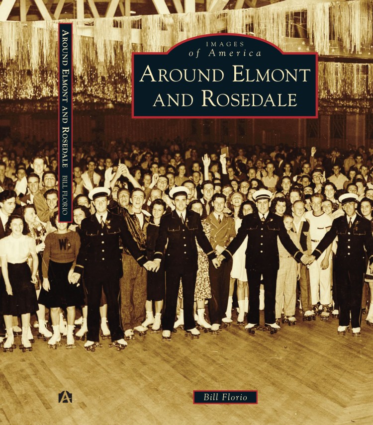
Bill’s new book, “Images of America: Around Elmont and Rosedale,” will be released in Spring of 2017, and focuses on the two modern-day neighborhoods as historic farming communities of Fosters Meadow.
Please enjoy our interview!
- For those who may not know, describe Foster’s Meadow. Which neighborhoods did it include? What was daily life like?
Fosters Meadow was a German farming community that started around the 1850s (the name dates back centuries earlier, to the late 1600s, when Christopher and Thomas Foster farmed the land) German immigrants started buying farmland in the area west of the Hempstead and Salisbury Plains, and east and south of Jamaica, most of which was undeveloped and very very rural.
The areas it included were today’s Elmont, Rosedale, Laurelton, Cambria Heights, North Valley Stream, South Floral Park, Franklin Square, Springfield Gardens and parts of Valley Stream and Floral Park. Its influence was also felt in New Hyde Park, Queens Village, and St. Albans, where many German farmers also settled.
If you were standing on the corner of today’s Elmont Road and Linden Boulevard in the late 1800s (which would have been the corner of Fosters Meadow Road and Central Avenue), all you would see is farms and a few churches (St. Boniface, St. Johns and St. Pauls to be specific), and the Herman Hotel. In the distance, you would see the developed communities of Valley Stream, Queens Village, Floral Park, Lynbrook and even further, Hempstead and Jamaica.
- Briefly describe the economy of Foster’s Meadow. How did people survive?
The economy of Fosters Meadow was entirely based around farming. Farmers would grow produce, and then drive out to the Wallabout Market in Brooklyn, or later, the original Bronx Terminal Market, and sell their product. That’s entirely how they made their living. If they can’t grow, or can’t sell, they can’t make any money. Some other families set up other ventures like hotels and inns, (most notably, the Kalb family, the Herman family, the Ridder family), but it was mostly a farming economy.
- How and where did you go about conducting your research? How long did research take?
I’ve been working on this book since around January. I’m still going to be working on it up to my due date in November. My research was conducted in a number of ways: I visited the Elmont Library and Queens Library Main Branch in Jamaica and researched their historical archives and old newspapers. I obtained information from the Nassau Photo Archive, as well as the Police Museum archive and the Long Island Studies Institute at Hofstra University. I looked through archives online both of newspapers and family genealogies and interviewed people who were long-time residents of the area, or descendants of the old farmers in the area. Also, I read articles and books already written on the area, especially those by Paul Van Wie, Ray Hoeffner and Vincent Seyfried.
- What major shift happened in 1898? Why did this happen, and what were the ripple effects?
In 1898, New York City expanded to include the Greater New York City area, including: the Cities of Brooklyn and Williamsburgh (and the rest of Kings County); Richmond County; the southeast part of Westchester County ( The Bronx, on the eastern side of the Bronx River. The western side was already a part of New York County and New York City); and the western half of Queens County, including the Towns of Newtown, Jamaica, Flushing and the City of Long Island City, as well as the Rockaway Peninsula (parts of which were claimed by both the Town of Hempstead and the Town of Jamaica). The eastern part of Queens County: the Towns of Hempstead, North Hempstead and Oyster Bay (as well as the Lloyd’s Neck peninsula in today’s Town of Huntington, Suffolk County) were not included in the Greater New York bill. United States Senator Thomas C. Platt was one of the main proponents of the Greater New York bill because it took power away from Tammany Hall, and increased his power base.
The splitting of Queens County, compounded with the earlier relocation of the Queens County Court House from Mineola to far away Long Island City, led the residents of the 3 eastern towns of Queens County to break away and form their own County, one named for the original name of Long Island: Nassau. The bill passed the New York State Legislature in 1899, and Nassau was born. Originally this didn’t affect most of the Fosters Meadow area at all, because the original boundary line, drawn by an over-eager surveyor, included almost all of Fosters Meadow, as well as most of the Five Towns, and the Western parts of Valley Stream and Floral Park in Queens. Assemblyman Wilbur Doughty had to fight in the Legislature to get the boundary re-drawn to the actual historical border of the Town of Hempstead (today’s border), excluding the former Village of Far Rockaway and Hempstead’s claims on the Rockaway Peninsula: the former Villages of Arverne and Rockaway Beach (when they joined the City, the Village and Town municipalities got dissolved). Two later bills in 1915 and 1917 tried to bring the Rockaway Peninsula back to the Town of Hempstead. It passed the Legislature but were vetoed by New York City Mayor John Purroy Mitchel (of Mitchel Field fame). (Doughty would later become Supervisor of the Town of Hempstead).
The ripple effects of this still affect the Rosedale and Laurelton areas today. They call themselves the Forgotten Community because New York City doesn’t provide as much attention or services to the outer boroughs, especially the far south end of Queens. For a great example, drive south down Hook Creek Boulevard/Ocean Avenue, where the east half is in Nassau and the west half is in Queens. Count the potholes.
- Were geographic boundaries drawn up arbitrarily or politically? What (who, where) did these new lines of demarcation separate?
I think I answered most of this above, but I’ll expand. So, with the exception of the Rockaway Peninsula, the border of New York City was meant to be the border between the (former) Towns of Jamaica and Flushing and the Towns of Hempstead and North Hempstead. Each of these towns voted whether or not they wanted to be included in the Greater New York. Long Island City, Newtown and Jamaica voted yes. Supposedly, Flushing voted no, but still got included. Hempstead, North Hempstead, and Oyster Bay said no. When the post-City unification border was drawn, it was drawn a little more than a mile east of where it should have been, and included in Queens, parts of Hempstead Town. Assemblyman Wilbur Doughty of Inwood (one of the areas that were included) fought in the New York Legislature to get this strip of land (later called The Doughty Strip) back to Hempstead.
The border was being drawn through Valley Stream and Elmont and Floral Park, splitting them in half. It also cut Lawrence, Hewlett, and Woodmere in half, sometimes right through pieces of property (Newbold Lawrence was a property owner that was adversely affected, as his holdings were now in two different municipalities. Future Nassau County Executive J. Russel Sprague was another). Doughty’s bill succeeded, by giving up Hempstead’s claims to the (former) Villages of Far Rockaway, Arverne and Rockaway Beach, and the unincorporated areas surrounding it. The final line did go right through the area known as Fosters Meadow, but by that time, the Queens section had been distancing itself somewhat from the Elmont and Franklin Square and Valley Stream sections, mostly referring to itself as Springfield, or later on, Rosedale.
- Talk about patterns of migration and changing demographics in these two places. How has demographics evolved over the years until the present-day?
The area of Fosters Meadow is very unique because it is a great example of the immigrant experience in America. In the 1600s, when the Foster Family settled there, they were part of a number of English and Dutch colonists that came to the new colonies. In the 1850s, German immigrants became the majority in the area, and surrounding areas (with English, Scottish, and Dutch coming a close second).
By the 1920s, the ethnic makeup was changing again, as loads of Irish, Italian, Portuguese and Jewish immigrants settled in the area, and kick-started the suburbanization of Elmont and Rosedale. Farms were eventually subdivided and suburban housing was built on many lots. From the 1970s to the 1990s, the most recent immigrants have been from the Caribbean and Central America: Haitian, Trinidadian, Jamaican, Dominican, Salvadorian, etc.
- Is it true there were racial tensions during the Civil Rights era of the 1960s, even in Rosedale?
Mainly in Rosedale, and not until the 1970s. In the 1920s, Long Island, like many other places in the Country, had a revival of the KKK. Since the African-American population was somewhere around 10% for all of Long Island, the Klan focused instead on Catholics and the recent Italian and Irish immigrants. Crosses were burned on lawns and public areas, politicians were accused of being supporters of the Klan. There was a Klan funeral down Merrick Road to bury a member in a cemetery in Elmont. On October 12, 1923, the KKK burned crosses in dozens of villages across Long Island. Though most of the Klan activity died down thanks to President Calvin Coolidge, they lived on at least into the 1950s.
So let’s skip ahead to the 1970s. Rosedale was a majority white area. Neighboring Springfield Gardens and Laurelton had started to get integrated in the late 60s and early 70s, mostly without much incident other than real estate brokers attempting to use the illegal practice of blockbusting. Certain Rosedale residents felt that integration was a threat, and when people of color started moving into houses in the neighborhood, there were acts of violence. The most famous incident was on New Year’s Eve in 1974, when the Spencer family’s house was pipe-bombed (with a note saying it was the work of the Boston KKK). The Spencers were immigrants from Trinidad via London. They bought a house in Rosedale and soon after found themselves the constant victim of a few racist residents. Two people were arrested for the pipe bombing, but they were both acquitted.
One of them, Michael Biggio, went on to found the group ROAR (originally Return Our American Rights, later Rights Of All Rosedale) with Jerry Scala, Joseph Salitz, and Joseph Ewald, and with the support of Democratic District Leader George McCracken. ROAR participated in racist practices of refusing to sell homes to black people and protesting their neighbors who did. On at least two occasions, ROAR tracked down where former residents of Rosedale moved to, and went to their new houses in their new neighborhoods, and protested in front of their houses, yelling to their neighbors that they allowed non-whites to move to Rosedale and they would do the same in their new neighborhood. During this time, there were more incidents of racial violence in Rosedale. At least two times, a house was firebombed right before a black family moved into it. By the end of the 1970s, thanks to a Federal lawsuit over its housing tactics, and a division in leadership over which Democratic District Leader to support in a primary (McCraken or Leon Schneider), ROAR was more or less disbanded. “Coincidentally”, the vast majority of violence against people of color stopped around then. This isn’t to say that there was never a hate crime committed after that, but the integration of Elmont, and Rosedale after ROAR broke up did not have tensions anywhere near this heightened.
By the end of the 1970s, thanks to a Federal lawsuit over its housing tactics, and a division in leadership over which Democratic District Leader to support in a primary (McCraken or Leon Schneider), ROAR was more or less disbanded. “Coincidentally”, the vast majority of violence against people of color stopped around then. This isn’t to say that there was never a hate crime committed after that, but the integration of Elmont, and Rosedale after ROAR broke up did not have tensions anywhere near this heightened. There is a whole Bill Moyers documentary on it.
I should state here, that these actions were not the actions of all the white residents of Rosedale. It was a minority that most of the residents usually considered to be trouble and “nutjobs.” Many current and former Rosedale residents around at the time that I spoke to were very upset about how the media liked to play up the idea that the entire community was in support of ROARs actions (especially that Moyers documentary). This was far from the truth. Many residents tried to integrate Rosedale peacefully and were very welcoming to their new neighbors. A great example of a Rosedale leader who tried to bring both black and white residents together peacefully was the Rosedale Block Association’s Joe Albergo. Part of Brookville Blvd is now named for him.
- In what ways would you say Elmont and Rosedale are similar?
Elmont and Rosedale have a similar history. They were both mostly farmland into the 20th century, while communities surrounding it were already adding suburban housing. They also have similar immigrant backgrounds, as the areas moved from German to Italian, Irish and Jewish to Caribbean mostly around the same time (give or take a decade)
- When you consider geography, is Elmont a part of Queens or is Queens a part of Long Island? How do you determine this?
Elmont is part of Nassau County. While it’s true that much of the area has the same ethnic makeup as it’s Queens neighbors of Cambria Heights, Laurelton, and Rosedale, and is even represented in Congress by the same representative for those areas, Elmont is not a part of New York City. Queens is technically a part of Long Island but is also part of New York City. The eastern part of Queens (honestly, most of Queens) has always been more suburban than many of the other boroughs.
- There is a stream which runs from Elmont through to Rosedale. What is it called, and what is its historical significance?
There are two. There’s Simonson’s Creek, which starts at Hook Creek, runs through Brookville Park to Conselyeas Pond, up along the Laurelton Parkway to the Twin Ponds, and up Elmont Road to Belmont Park. Hook Creek is the other creek that runs along Hook Creek Blvd and mostly into Valley Stream. Historically, the ponds on these streams were the site of grist mills. The Twin Ponds on the Laurelton/Rosedale border and Conselyeas Pond were also a part of the Brooklyn Waterworks system.
- Talk about Brookville Boulevard, which connects Elmont to places like Rosedale, Valley Stream, and Laurelton.
Brookville Boulevard is part of the historic road known as Fosters Meadow Road. Fosters Meadow Road would start in the marshes by Rockaway Turnpike and Meadowmere (the part of Brookville Blvd many Rosedale residents call Snake Road), and run along the route of Brookville Blvd to Elmont Road, where it would then take it’s route to Hempstead Turnpike and beyond. Many of the farms of Fosters Meadow were on or near this road, and the Fosters Meadow train station (later Rosedale) was located on it. It is the road that connects the two major parts of Fosters Meadow.
- Is there anything you think residents from Elmont and/or Rosedale would be surprised to learn after reading this book?
Possibly. I’ll play coy here and say you’ll have to read the book.
- Why did you choose to write this book?
After writing Images of America: Valley Stream, I found myself becoming interested in the history of the surrounding Fosters Meadow area. Rosedale and Elmont have very little written about them (mostly because their history starts a lot later than surrounding areas). By 1900, Valley Stream was a lively community with a busy downtown and train station. In 1900, Rosedale and Elmont were farms (and yes, there were a select few hotels and a train station in Rosedale).
- Where can readers purchase the book?
When it comes out, it will be available on Amazon, Barnes and Noble (and their website), and local bookstores. There might also be some local stores that sell it.
Many thanks to Bill Florio for taking the time to enlighten us about the rich history of Elmont and Rosedale as a part of Fosters Meadow. We will definitely be picking up a copy of Bill’s book, “Images of America: Around Elmont and Rosedale,” when it is released next Spring.
Higher Heights


2 thoughts on “Fosters Family: Why Elmont & Rosedale Are Like Brother & Sister”